Metainformationssystem GDI-BW
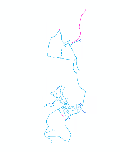
Wasserversorgungsnetz Hohenlohekreis
Kommunale Wasserdaten der Kommunen Bretzfeld, Forchtenberg, Künzelsau, Mulfingen, Niedernhall, Pfedelbach, Waldenburg, Weißbach und Zweiflingen bestehend aus Leitungen, Hydranten, Schächten und weiteren relevanten Objekten. Die Daten werden originär im System BaSYS-AquaData gehalten. Erfassung und Fortführung erfolgt durch das Kreistiefbauamt des Landratsamt Hohenlohekreis. Stand:08/2021
Simple
- Date (Creation)
- 2009-12-18T00:00:00
- Date (Publication)
- 2015-10-06T00:00:00
- Date (Revision)
- 2020-08-21T00:00:00
- Citation identifier
- http://www.hokis.eu#7de5b18f-00b3-11e6-89f9-0050569729c7
- Purpose
-
Wasserdaten aus dem BaSYS-System
- Point of contact
-
Organisation name Individual name Electronic mail address Role Landratsamt Hohenlohekreis
Kreistiefbauamt Abteilung Vermessung
Point of contact
- Maintenance and update frequency
- As needed
-
GDI-BW-Schlüsselwortliste nach dem mehrsprachigen Umwelt-Thesaurus GEMET
-
-
Wasserversorgung
-
- Keywords
-
-
HOKis
-
- Use limitation
-
Einsichten, Auszüge und Datenexporte für Dritte sind nur mit ausdrücklicher Erlaubnis der zuständigen Gemeindeverwaltung zulässig. Vollständigkeit und Richtigkeit der Daten sind aktualisierungsbedingt
- Access constraints
- Restricted
- Use constraints
- Restricted
- Spatial representation type
- Vector
- Denominator
- 500
- Language
-
ger
- Character set
- UTF8
- Topic category
-
- Utilities communication
))
- Supplemental Information
-
Export aus BaSYS nach Esri Modell 500
- Reference system identifier
- urn:ogc:def:crs:EPSG / EPSG:25832
- Reference system identifier
- 31467
- Topology level
- Geometry only
- Geometric object type
- Composite
- Distribution format
-
Name Version Feature-Dataset in File-Geodatabase
10.8.1
- Distributor contact
-
Organisation name Individual name Electronic mail address Role Landratsamt Hohenlohekreis
Stabsstelle GIS
Point of contact
- OnLine resource
-
Protocol Linkage Name http://www.hokis.eu
- Hierarchy level
- Dataset
- Statement
-
Vermessung
- Description
-
Export von CAD nach GIS
- Description
-
CAD-Daten
- Compliance code
- No
- Language
-
ger
- Included with dataset
- No
- Feature types
- BaSYS AquaData
- Title
-
BaSYS
- Date (Revision)
- 2015-10-01
Metadata
- File identifier
- f19cb8ca-b29e-439b-bed5-aace9417ef52 XML
- Metadata language
- Deutsch
- Character set
- UTF8
- Hierarchy level
- Dataset
- Hierarchy level name
-
dataset
- Date stamp
- 2021-08-31T08:32:21
- Metadata standard name
-
INSPIRE Metadata Implementing Rules: Technical Guidelines based on EN ISO 19115 and EN ISO 19119
- Metadata standard version
-
V. 1.2
- Metadata author
-
Organisation name Individual name Electronic mail address Role Landratsamt Hohenlohekreis
Stabsstelle GIS
Point of contact