Metainformationssystem GDI-BW
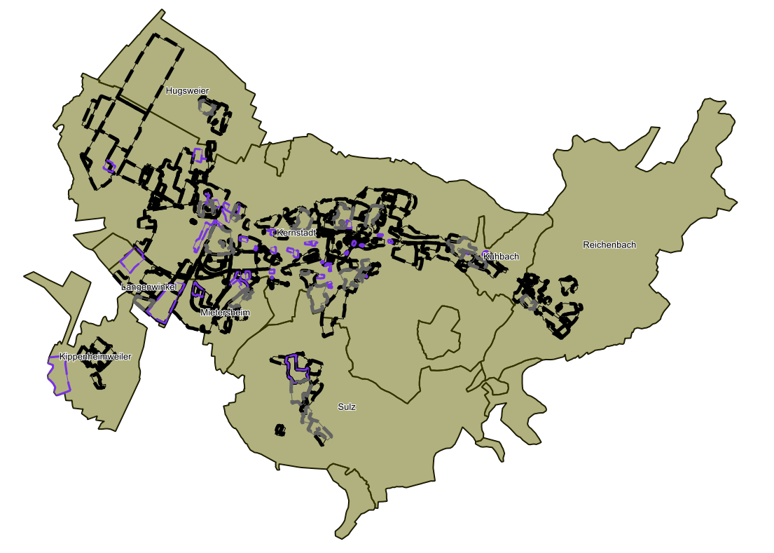
Serie: Bebauungspläne der Stadt Lahr (XPlanung)
Die Geodatenserie verknüpft die Daten und Dienste aller rechtskräftig in Kraft getretenen Bebauungspläne der Stadt Lahr. Die Pläne liegen XPlanung-konform vor.
Simple
- Date (Revision)
- 2024-02-01
- Citation identifier
- https://www.lahr.de/1ba57940-4aeb-4761-b2a2-ab1d3a67b74c
- Status
- On going
- Point of contact
-
Organisation name Individual name Electronic mail address Role Stadt Lahr - Stadtplanungsamt
Point of contact
- Maintenance and update frequency
- Continual
- Keywords
-
-
öffentlich
-
-
GDI-BW-Schlüsselwortliste
-
-
Bauleitplanung
-
-
GEMET
-
-
Planungsrecht
-
Bebauungsplan
-
Bauleitplanung
-
- Theme
-
-
Bauleitplan
-
XPlanung
-
- Place
-
-
Lahr
-
- Access constraints
- Other restrictions
- Other constraints
- Es gelten keine Zugriffsbeschränkungen
- Use constraints
- Other restrictions
- Other constraints
-
Nutzungsbedingungen: Es gelten die Nutzungsbestimmungen der digitalen Geodatenauskunft der Stadt Lahr: https://lahr.terragis.de/lahr/static/custom/lahr/Nutzungsbedingungen_Geoportal.pdf
- Spatial representation type
- Grid
- Language
- Deutsch
- Character set
- UTF8
- Topic category
-
- Planning cadastre
))
- Unique resource identifier
- EPSG 25832: ETRS89 / UTM Zone 32N
- Distribution format
-
Name Version WMS
n/a
- OnLine resource
-
Protocol Linkage Name WWW:LINK-1.0-http--link
https://www.lahr.de/bebauungsplaene.221656.htm Bebauungspläne - www.lahr.de
WWW:LINK-1.0-http--link
https://lahr.terragis.de/inspire/bplan/karte.php? Bebauungspläne der Stadt Lahr im Geoportal
WWW:LINK-1.0-http--link
https://lahr.terragis.de/inspire/bplan/ows?SERVICE=WMS&REQUEST=GetCapabilities WMS-Dienst der Bebauungspläne der Stadt Lahr
OGC:WFS-http-get-capabilities
https://lahr.terragis.de/inspire/bplan/ows/xplanung?SERVICE=WFS&REQUEST=GetCapabilities WFS Dienst Bebauungsplan Lahr XPlanung
- Hierarchy level
- Series
Conformance result
- Date (Publication)
- 2010-12-08
- Explanation
-
Die Daten wurden mit der Metadatenvalidierung der GDI-BW überprüft.
- Pass
- Yes
- Statement
-
Bereitstellung der Bebauungspläne aus der zentralen Geodatenbank der Stadt Lahr
Metadata
- File identifier
- 1ba57940-4aeb-4761-b2a2-ab1d3a67b74c XML
- Metadata language
- Deutsch
- Character set
- UTF8
- Hierarchy level
- Series
- Hierarchy level name
-
Serie
- Date stamp
- 2024-09-11T09:31:49.686Z
- Metadata standard name
-
ISO 19115:2003 (GDI-BW)
- Metadata standard version
-
2.1
- Metadata author
-
Organisation name Individual name Electronic mail address Role Stadt Lahr - Geodatenmanagement
Point of contact