Metainformationssystem GDI-BW
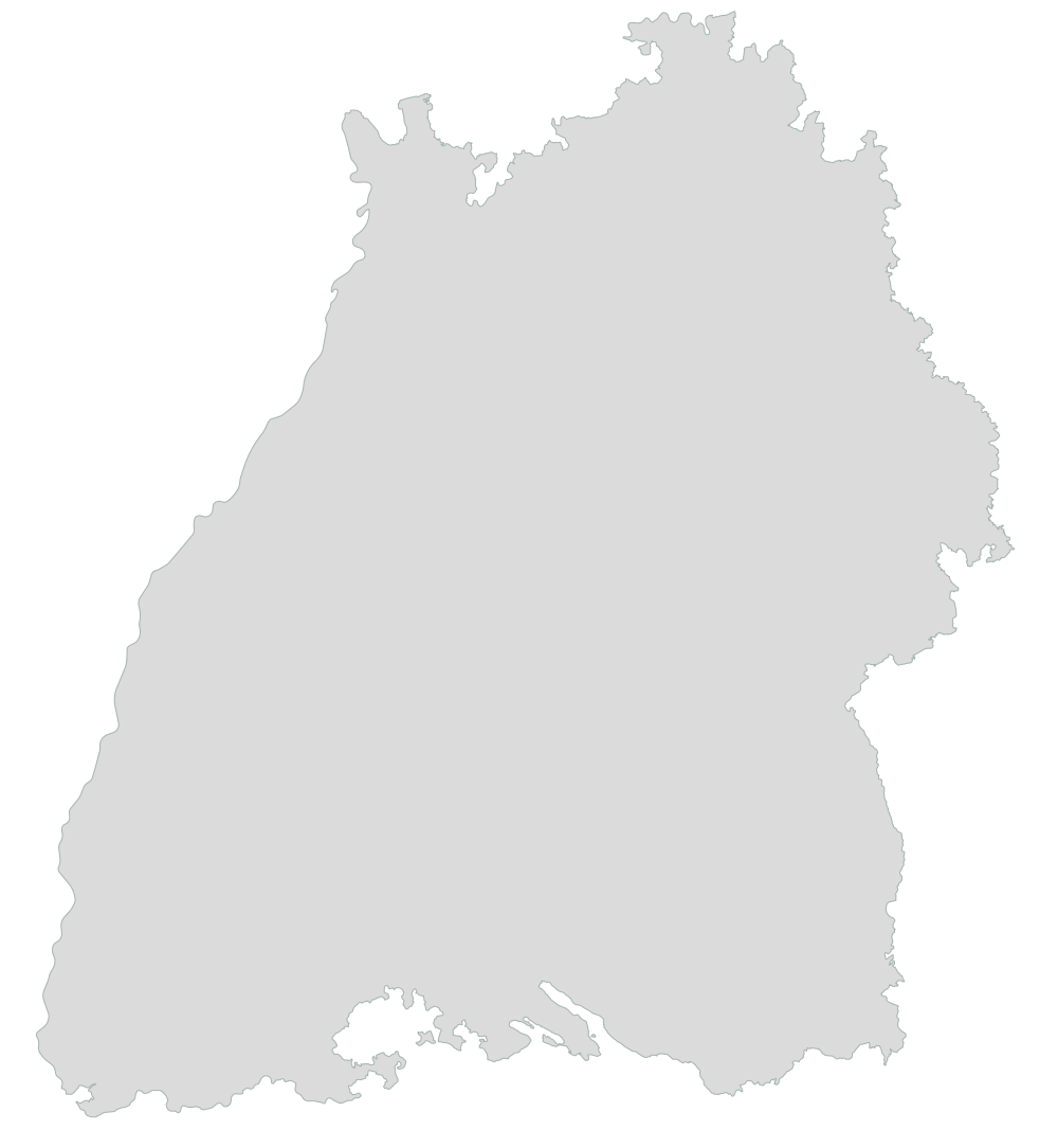
LGRB-BW ROH: Bearbeitetes Gebiet
Das LGRB betreibt seit 1986 eine standardisierte Betriebserhebung von Abbaustellen oberflächennaher mineralischer Rohstoffe des Landes. Seit Anfang 2004 wird diese Aufgabe als Rohstoffgewinnungsstellendatenbank (RGDB) in Kooperation mit den Regionalverbänden betrieben.
Simple
- Alternate title
-
ROH: Bearbeitetes Gebiet
- Date (Revision)
- 2023-01-01
- Status
- On going
- Point of contact
-
Organisation name Individual name Electronic mail address Role Regierungspräsidium Freiburg - Abteilung 9 Landesamt für Geologie, Rohstoffe und Bergbau, Ref. 96 Landesrohstoffgeologie
abteilung9@rpf.bwl abteilung9@rpf.bwl.de
Point of contact
- Maintenance and update frequency
- Annually
- Keywords
-
-
Rohstoffe
-
- Use constraints
- Other restrictions
- Other constraints
- https://produkte.lgrb-bw.de/agb/
- Language
- Deutsch
- Character set
- UTF8
))
- Supplemental Information
-
Bezugsmaßstab der KMR50-Daten ist 1 : 25 000.
- Unique resource identifier
- EPSG:25832
- Unique resource identifier
- EPSG:31467
- Unique resource identifier
- EPSG:4326
- Unique resource identifier
- EPSG:3857
- Unique resource identifier
- EPSG:4258
- Distribution format
-
Name Version ESRI Shapefile
n/a (default)
Distributor
- Distributor contact
-
Organisation name Individual name Electronic mail address Role Regierungspräsidium Freiburg - Abteilung 9 Landesamt für Geologie, Rohstoffe und Bergbau, Vertrieb
vertrieb-lgrb@rpf.bwl.de lgrb@rpf.bwl vertrieb-lgrb@rpf.bwl.de
Distributor
- Fees
-
Daten kostenfrei
- Ordering instructions
- Hierarchy level
- Dataset
Metadata
- File identifier
- 1ad384cb-b290-460e-b6f3-7b6ac7d3587d XML
- Metadata language
- Deutsch
- Character set
- UTF8
- Hierarchy level
- Dataset
- Date stamp
- 2023-03-09T21:15:39
- Metadata standard name
-
ISO 19115:2003 (GDI-BW)
- Metadata standard version
-
2.1
- Metadata author
-
Organisation name Individual name Electronic mail address Role Regierungspräsidium Freiburg - Abteilung 9 Landesamt für Geologie, Rohstoffe und Bergbau, Referat 91 Geowissenschaftliches Landeservicezentrum
abteilung9@rpf.bwl abteilung9@rpf.bwl.de
Point of contact
Overviews
Spatial extent
Provided by